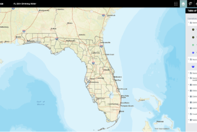
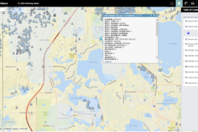
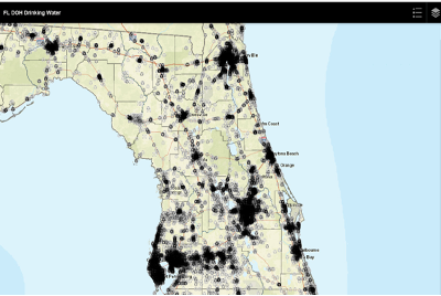
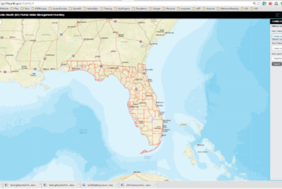
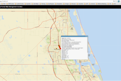
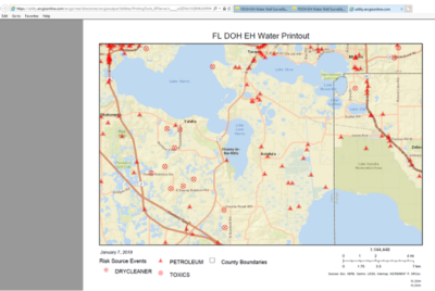
 EPIC provided GIS and web development services to the Florida Department of Health, Division of Disease Control and Health Protection. We developed new and updated functionalities required to support 3 key GIS/Preparedness Web Apps: the DOH Environmental Health Water and Waste Water Inventory Web GIS Application, the EH Water Well Surveillance Web GIS Application, and the DOH Preparedness Hazard Vulnerability Assessment Web GIS Application intranet and internet services. The work of EPIC helps keep Floridians safe and healthy!
Florida Department of Health Web Applications
Florida Department of Health
Domain
State and Local Governments
Location
Tallahassee, FL
Services
Web Application Development
Geographic Information Systems (GIS)
Systems Integration
Technologies
HTML 5, ArcGIS for JavaScript API Development, ESRI-ArcGIS Online JavaScript web app templates
GIS and Web Applications for Water Surveillance
Workflow Automation
EPIC’s improvements include application and web tool development to bring critical preparedness GIS resources up-to-date with currently supported technology trends. These improvements position FDOH in a strong position for responding to natural and man-made hazards and are necessary to support ESF-8 functions. These upgrades increased their usefulness to first responders and deployed DOH employees in the event of an emergency.
Implementation
Features:
- Base Map – Allows user to switch between available base maps
- Drawing tools – Allows user to draw different shapes on the map
- Measurement Tools – Standard measurement tool widget
- Search – Text based search tool
- TOC and Legend – TOC will list layers and respective symbology details will be displayed on Legend.
- Attribute Search and Buffer tool – A text based selection tool that allows users to search Feature Layers based on the text based feature attribute. Also, it buffers selected features based on the user defined distance. Results will be displayed based on the buffer polygon.
- Spatial Selection and Buffer tool – A customizable buffer of user defined Point, Line or Polygon for a selected map or feature service.
- Flood Info tool – This tool will allow users to construct a hierarchical query to identify affected or potentially affected resources. With configurable file for setting Map/Feature Services in each drop down. Map and Feature Services already exist.
- Report Printing tool – This tool allows users to search a facility In the map and feature service and generate a PDF report with embedded map screenshot in it.

