EPIC supports every phase of your GIS journey from data readiness and schema design to implementation and system optimization purpose-built for infrastructure, utilities, and public agencies.
GIS technology can be integrated into any enterprise information system framework or can serve as the information system platform itself.
EPIC provides complete GIS lifecycle solutions from needs assessment through implementation.
Data Science, Designed for You
We design and develop custom data science solutions tailored to your business needs.
Scalable Data Science Teams
Build, operate and transfer data science team to augment your existing staff.
Turn Data into Business Value
Strategic planning to explore usage of your data assets to generate business insights.
Embed AI in Your Applications
Embed predictive analytics and ML into scalable business software solutions.
Experts in Predictive Tech & Machine Learning
Supervised, Unsupervised, and Reinforcement Learning
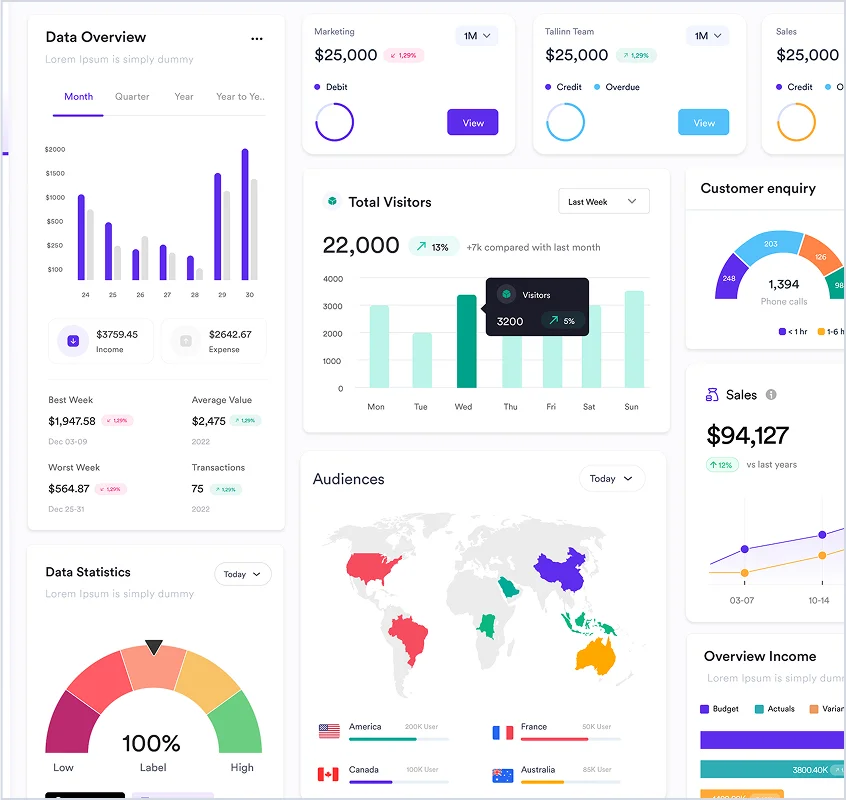
Empowering public agencies with connected systems, live dashboards, and real-time data to make smarter decisions across utilities, transit, and public services.
Empowering public agencies with connected systems, live dashboards, and real-time data to make smarter decisions across utilities, transit, and public services.
Empowering public agencies with connected systems, live dashboards, and real-time data to make smarter decisions across utilities, transit, and public services.
Empowering public agencies with connected systems, live dashboards, and real-time data to make smarter decisions across utilities, transit, and public services.