Case Studies
Assessment, Design, and Implementation
Epic Group is partnering with communities in the Carolinas to recover from disasters and build resilience.
Introductuion
Epic Group, in partnership with Florida’s Department of Agriculture, developed a GIS-based portal—Florida’s Roadmap to Healthy Living helping residents explore the link between nutrition, demographics, and location for smarter health decisions through an interactive, mobile-friendly map.
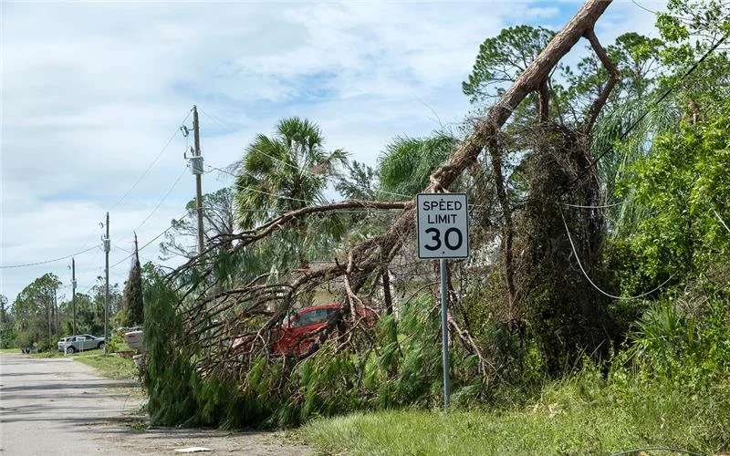
Epic Group provided immediate assistance to several affected communities by assessing and documenting damages, facilitating understanding of the Federal Emergency Management Agency Public Assistance (FEMA PA) grant funding process, and seeking other sources of federal recovery funding to maximize assistance.
Challenge
When a community is eligible to receive FEMA Public Assistance (PA) funding for disaster recovery, it must accurately document all damage to ensure maximum reimbursement from FEMA. It is also essential to conduct damage assessments quickly so the community can get back on its feet swiftly and meet FEMA’s time requirements for full reimbursement. To expedite the damage assessment process in the Carolinas, we deployed drones to collect high-resolution imagery of disaster-related damage.
Within weeks, we documented debris and damage across 110 square miles–nearly five times the size of Manhattan–and an additional 80 linear miles of critical infrastructure in the Carolinas. Given that Western South Carolina’s rugged terrain is difficult to traverse on foot, using drones significantly accelerated the data collection process. This data will help us move onto the next phase of recovery: recommending recovery and mitigation projects to restore infrastructure and public services and support community revitalization.

Solution
When a community is eligible to receive FEMA Public Assistance (PA) funding for disaster recovery, it must accurately document all damage to ensure maximum reimbursement from FEMA. It is also essential to conduct damage assessments quickly so the community can get back on its feet swiftly and meet FEMA’s time requirements for full reimbursement. To expedite the damage assessment process in the Carolinas, we deployed drones to collect high-resolution imagery of disaster-related damage.
Within weeks, we documented debris and damage across 110 square miles–nearly five times the size of Manhattan–and an additional 80 linear miles of critical infrastructure in the Carolinas. Given that Western South Carolina’s rugged terrain is difficult to traverse on foot, using drones significantly accelerated the data collection process. This data will help us move onto the next phase of recovery: recommending recovery and mitigation projects to restore infrastructure and public services and support community revitalization.
Solution highlights
- AI
- Cloud
- Human-centered design
- Scaled Agile
- Open source
Insights
96%
Participants give The Great Energy Escape four or five stars out of five
93%
Said they learned something new about energy efficiency from the escape room
90%
Said they planned to implement energy efficiency strategies they learned in the game at home
Results
Polk County Utilities
EPIC conducted thorough needs analysis and process mapping, always eager to troubleshoot, provide solutions, and collaborate effectively with all stakeholders.
Seminole County Environmental Services Division
Our partnership with EPIC Engineering & Consulting Group has modernized Seminole County Environmental Services, improving efficiency, data integrity, and project workflows.
City of Orlando
EPIC has been a trusted partner in our digital transformation. With Simplify i3, we eliminated duplicate data, reduced spreadsheets, and streamlined operations in a cloud-based system.

Talk to an expert about your challenge today
contact us

